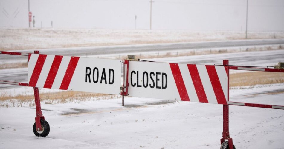
DALLAS — A destructive winter storm marched across the United States on Wednesday, delivering blizzard-like conditions to the Great Plains hours after tornadoes touched down in parts of Texas, Oklahoma and Louisiana.
Five tornadoes were confirmed across north Texas as of Tuesday afternoon based on video and eyewitness reports, but potentially a dozen may have occurred, the National Weather Service in Fort Worth, Texas, reported.
Dozens of homes and businesses were damaged by the line of thunderstorms, and several people were injured in the suburbs and counties stretching north of the Dallas-Fort Worth area. More than 1,000 flights into and out of area airports were delayed, and over 100 were canceled, according to the tracking service FlightAware.
Two people were missing and homes were destroyed Tuesday when a tornado hit Four Forts, Louisiana, about 10 miles (16 kilometers) from Shreveport, said Sgt. Casey Jones of the Caddo Parish Sheriff’s Office.
“I’m hoping they’re with family somewhere,” Jones said. There were no immediate reports of deaths.
The severe weather threat continued into Wednesday for Louisiana, Mississippi, Alabama and the Florida Panhandle, according to the Storm Prediction Center in Norman, Oklahoma.
Blizzard warnings stretched from Montana into western Nebraska and Colorado, and the National Weather Service said as much as 2 feet (61 centimeters) of snow was possible in some areas of western South Dakota and northwestern Nebraska. Winds of more than 50 mph (80 kph) at times will make it impossible to see outdoors in Nebraska, officials said.
“There’s essentially no one traveling right now,” said Justin McCallum, a manager at the Flying J truck stop at Ogallala, Nebraska.
Forecasters expect the storm system to hobble the upper Midwest with ice, rain and snow for days, as well as move into the Northeast and central Appalachians. Residents from West Virginia to Vermont were told to watch out for a possible significant mix of snow, ice and sleet, and the National Weather Service issued a winter storm watch from Wednesday night through Friday afternoon, depending on the timing of the storm.
In the Dallas suburb of Grapevine, police spokesperson Amanda McNew reported five confirmed injuries Tuesday.
A possible tornado blew the roof off the city’s service center — a municipal facility — and left pieces of the roof hanging from powerlines, said Trent Kelley, deputy director of Grapevine Parks and Recreation.
It was also trash day, so the storm picked up and scattered garbage all over, he said.
Photos sent by the city showed downed power lines on rain-soaked streets, as well as toppled trees, damaged buildings and a semitrailer that appeared to have been tossed around a parking lot.
In Colorado, all roads were closed in the northeast quadrant of the state. The severe weather in the ranching region could also threaten livestock. Extreme winds can push livestock through fences as they follow the gale’s direction, said Jim Santomaso, a northeast representative for the Colorado Cattlemen’s Association.
“If this keeps up,” said Santomaso, “cattle could drift miles.”
A blizzard warning has been issued on Minnesota’s north shore, as some areas are expecting up to 24 inches of snow and wind gusts up to 40 mph. And in the south of the state, winds gusting up to 50 mph (80 kph) had reduced visibility.
National Weather Service meteorologist Melissa Dye in the Twin Cities said this is a “long duration event” with snow, ice and rain through Friday night. Minnesota was expecting a lull Wednesday, followed by a second round of snow.
The same weather system dumped heavy snow in the Sierra Nevada and western U.S. in recent days.
———
Groves reported from Sioux Falls, South Dakota. Associated Press writers Ken Miller in Oklahoma City; Jill Bleed in Little Rock, Arkansas; Sam Metz in Salt Lake City; Trisha Ahmed in Minneapolis; Jesse Bedayn in Denver; Margery Beck in Omaha, Nebraska; and Robert Jablon in Los Angeles contributed to this report.
Source link


